No risk, no technology. This also applies to hydroelectric power and geothermal energy - renewable energies which play an important role in the Energy Strategy 2050. For example, the deep geothermal energy pilot projects in Basel and St. Gallen were discontinued after drilling and water injections triggered earthquakes. Water reservoirs also present uncertainties, particularly with regard to factors that increase the risk of dam failure. For this reason, scientists at the ETH Zurich have developed new methods for the assessment of risks associated with various technologies.
Earthquakes, dam failures and landslides - risk assessment for power generation
Researchers have developed new methods to minimise risks in the energy system and have conducted a survey on how best to communicate risks to the public.
At a glance
- Artificially generated earthquakes are the main risk associated with deep geothermal energy technology. New strategies to minimise risks are now the basis for future projects.
- Researchers have developed new models for the assessment of risks associated with earthquakes, dam failures and damaged infrastructure. They have also sought to determine the uncertainty of the estimates.
- A survey shows that the population would prefer to have deep geothermal drilling performed in remote areas, since earthquakes that may occur during drilling can lead to rejection of the technology.
- Quantitative data are helpful in risk communication, but areas of uncertainty confuse the population and lead to rejection.
Earthquakes due to geothermal drilling
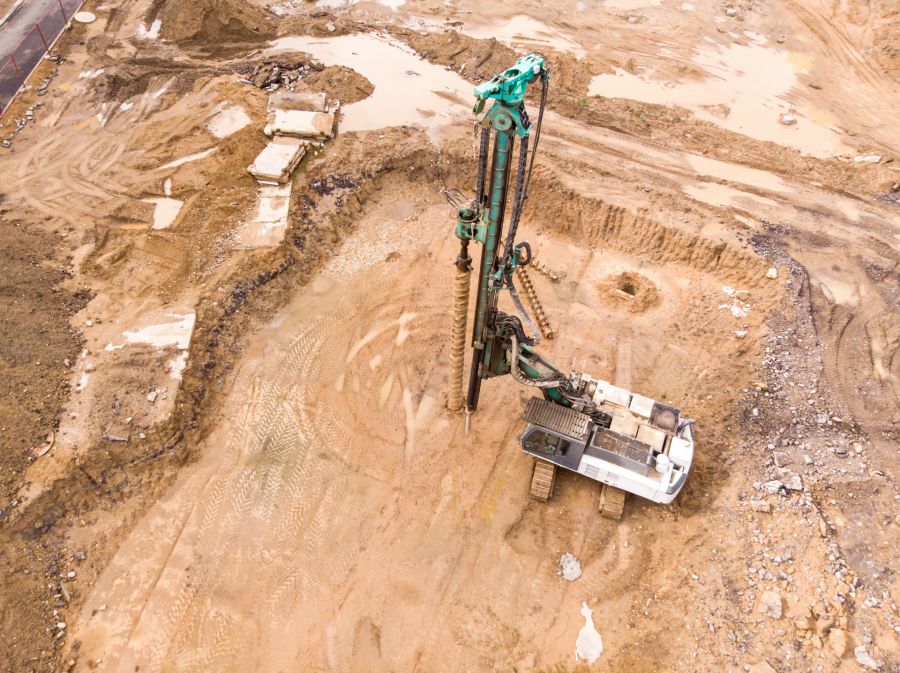
A first sub-project was dedicated to the study of artificially generated earthquakes in geothermal projects. Using data from a sensor that measures tremors at a depth of 2.7 kilometres in the Basel borehole, the researchers compiled an earthquake catalogue listing more than 280,000 tremors over twelve years, ranging from imperceptible to level three on the open-ended Richter scale.
The measured tremors were then assigned to different classes using machine learning methods. Thanks to this study, it is now possible to sort new tremors by type and in real time, and to more easily recognise the signs that may herald dangerous earthquakes.
Damage caused by micro-earthquakes
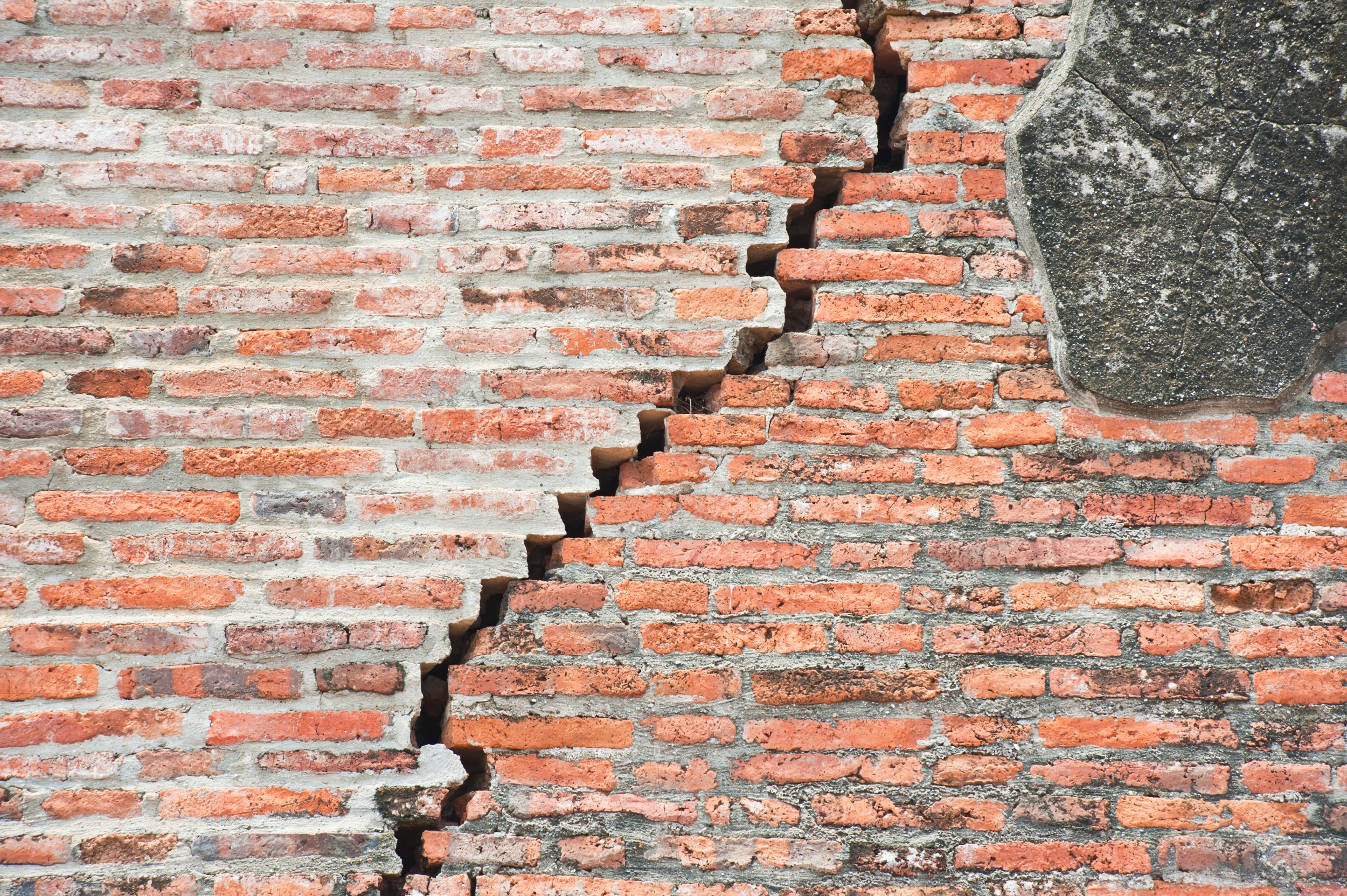
Mathematical models for the prediction of damage caused by earthquakes are already available, but they are reliable only for sizable earthquakes. Damage due to so-called micro-earthquakes, such as those caused by deep rock water injections, has so far been difficult to predict. The scientists therefore carried out experiments in the laboratory using plasterwork walls lacking iron reinforcement. By means of a test apparatus, they shook the walls weakly and over a long period of time, as is to be expected in artificially generated earthquakes. They then categorised the resulting damage in three stages: no cracks, visible cracks and fallen plaster. Since the parameters of the experimental tremors are precisely known, it will in future be possible to estimate the potential damage due to recorded microearthquakes. This will also facilitate the assessment of the risks of geothermal projects in residential areas.
Damage caused by major earthquakes
In the event of major earthquakes, damage to the infrastructure, and especially the power grid, must be minimised. A newly developed simulation method helps secure the stability of these systems. The program simulates both the electrical energy still available after an earthquake and the expected consumption. This enables planners and authorities to test and optimise the reliability of new power grids and existing infrastructure.
Optimisation through wind modelling
The Energy Strategy 2050 calls for the expansion of power production from wind energy. But where are the ideal locations? And what turbine performance is needed? Statistical analyses show that wind speed increases with altitude and that winds are stronger in winter. Even though mountain air is thinner, it is therefore worth building wind farms at higher altitudes. According to the researchers' calculations, the six terawatt hours of wind energy per year called for in the Energy Strategy 2050 require an installed capacity of 2508 megawatts. The most powerful turbines in Switzerland have an output of approximately 3 megawatts, which means that roughly 800 turbines would be needed to reach this goal.
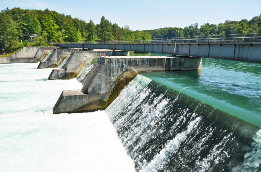
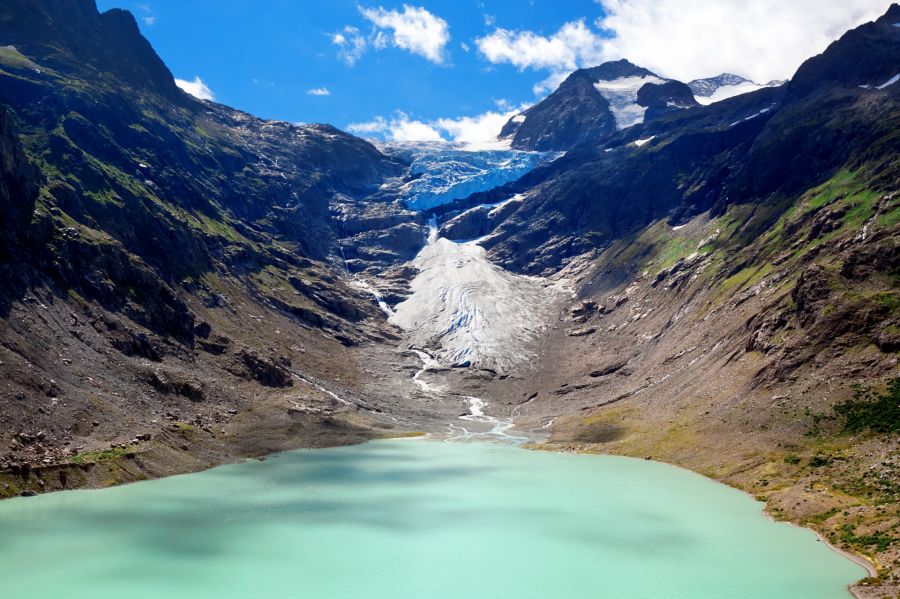
Reservoirs and dam failures
What are the factors that increase the risk of dam failure? One way to answer this question is to systematically investigate past incidents. The researchers used an international database of accidents having occurred in the energy sector. The analyses linked the characteristics of a given dam, such as height or type, to the frequency of incidents. For example, gravity dams in non-OECD countries present a higher risk of accidents than those located in OECD countries. For arched walls, on the other hand, significant differences between the various groups of countries are not discernible.
The statistical evaluation served as the foundation for a dam failure model specifically designed for Switzerland. This model now makes it possible to calculate the risk of dam failure in Switzerland and, in particular, to assess the repercussions in the areas downstream of said dams. Such predictions are of course fraught with uncertainties, but researchers are now in a position to quantify them.
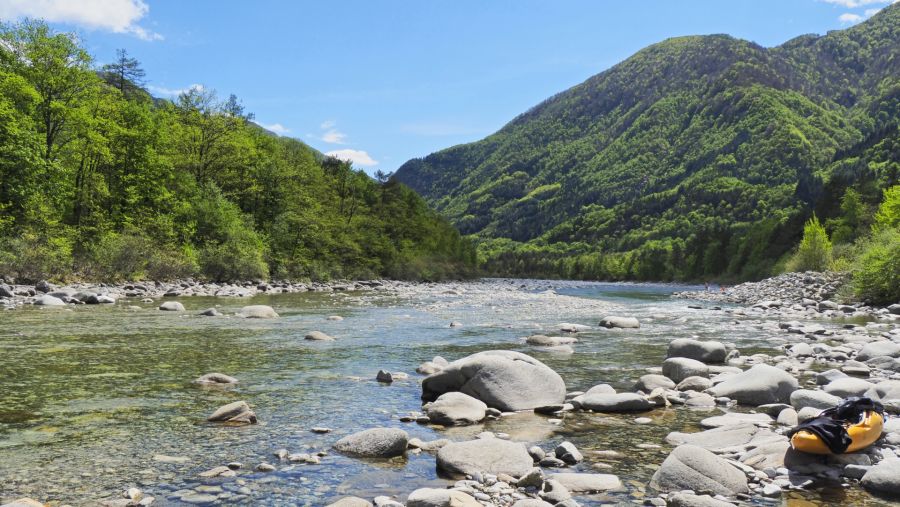
Landslides
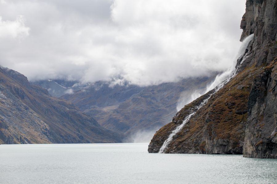
Uncontrolled water discharge downstream of a dam is not necessarily due to structural failure. A land- or rockslide can also create a wave that causes a reservoir to overflow, as occurred in 1963 at the Vajont dam in north-eastern Italy, where huge masses of stone fell into the lake, generating a wave that killed approximately 2000 people downstream – the exact toll remains unclear.
In order to quantify the probability and size of landslides and mudflows in the Alps, the researchers created a new computer model that enabled them to calculate the frequency and size of mudflows. They then compared their results with information from a global set of landslide data and also applied their model to the Illgraben, a ravine located in the canton of Valais. The results were consistent with earlier calculations performed by other scientists.
Communicating risks to the public
Risk assessment benefits not just planners and authorities. The population is also an important actor who, in many cases, must first approve projects. Approval by the population depends not only on the basic opinion, but also on the information provided. When it comes to risk communication, the population prefers quantitative information and, above all, a comparison of the risks associated with different variants. However, the survey showed that if uncertainties are also communicated, confidence in scientists and their data decreases.
As part of their survey, the researchers also asked questions specifically related to geothermal energy. On the whole, the Swiss population approves this technology, even though artificially generated earthquakes can occur. They believe that geothermal drilling is best performed in rural areas, as far away as possible from densely populated regions.
Products of this project
Contact and Team
Prof. Dr. Stefan Wiemer
Departement Erdwissenschaften
ETH Zürich
Sonneggstrasse 5
NO H 61
8092 Zürich
+41 44 633 38 57
stefan.wiemer@sed.ethz.ch

Stefan Wiemer

Sub-projects
This project is part of the joint project “Hydropower and geo-energy”.

All information provided on these pages corresponds to the status of knowledge as of 12.06.2019.